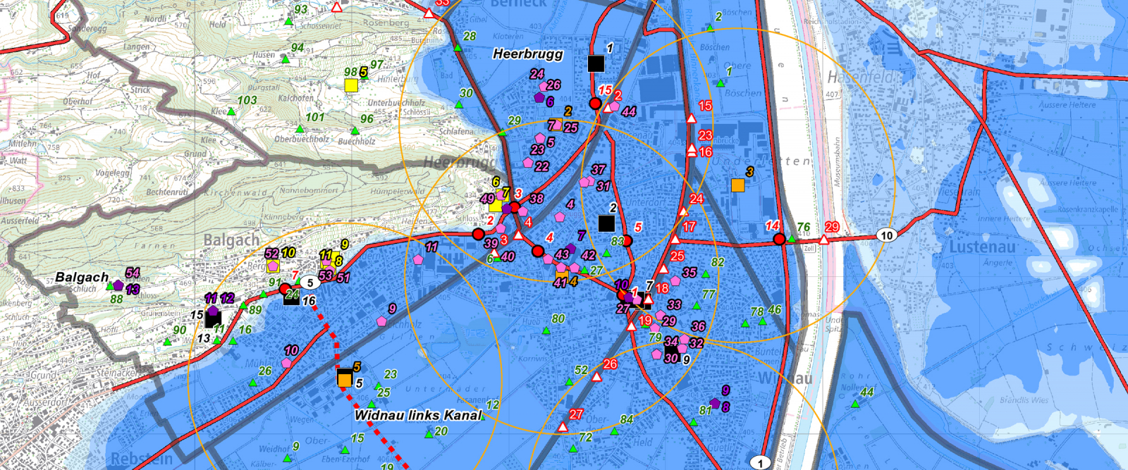
Survey map for use in planning evacuations in case of Alpine Rhine flooding
Flooding along the Alpine Rhine could have a devastating impact on communities in the Middle Rhine region of Switzerland. In light of this danger, the Middle Rhine regional emergency operations office commissioned EBP to identify the relevant elements of the evacuation planning, present them on a survey map and outline their functions in an explanatory document.
Rhine River flooding represents one of the most serious hazards threatening the Canton of St. Gallen. The Swiss Middle Rhine region is especially exposed to the risk of flooding. In order to be well prepared for such a situation, the Middle Rhine regional emergency operations office (Regionaler Führungsstab Mittelrheintal RFS MR) is planning for a large-scale precautionary evacuation.
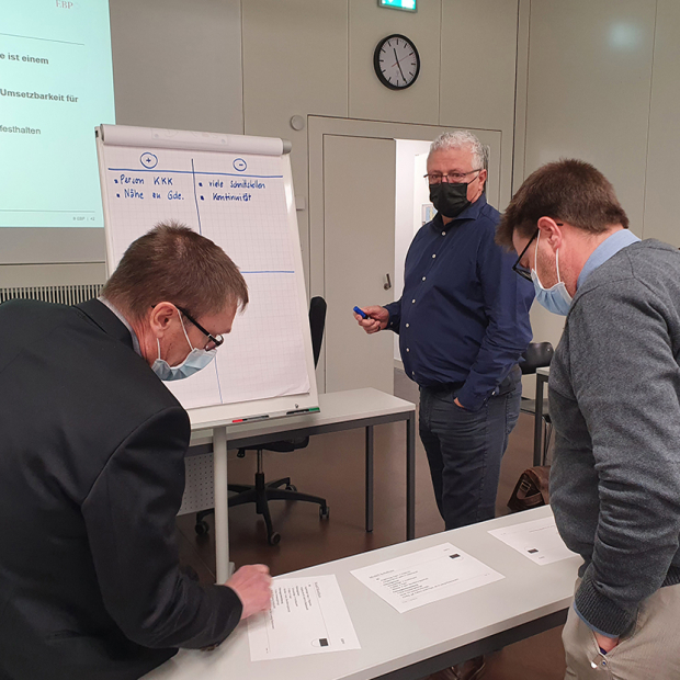
EBP has helped the RFS MR in its evacuation-planning efforts since 2016. In the context of various workshops, we sat down with RFS MR representatives to identify the key elements of an effective evacuation plan before going on to represent these on a survey map. The map includes the location of designated emergency assembly points, evacuation shelters and evacuation routes. We also supplemented the survey map with an explanatory document.
Comprised of seven different layers, the dynamic survey map simplifies access to the different types of information that are needed:
- Flood zones show the areas that are exposed to the risk of flooding in connection with various flood scenarios.
- Evacuation areas are typically defined by natural or man-made barriers.
- Emergency assembly points are located within the flood-hazard zones and enable the effective evacuation of any individuals who are unable to escape danger on their own.
- Traffic control focuses on evacuation routes, rescue corridors, potential transportation hindrances and traffic management locations.
- Evacuation shelters are located outside of the flood-hazard zones. These provide temporary accommodation for evacuated persons.
- Special facilities include facilities for persons, animals and goods.
- Administrative assets include command centers, emergency-service units and other public agencies.
We also drafted a supplemental document to explain the various items in the survey map. This document describes the operational functions of the items that go into a large-scale precautionary evacuation. It also includes additional explanatory material such as numerical data and refers to concepts of evacuation planning and management.
EBP supported the RFS MR by providing the following services:
- Organization and execution of workshops to identify specific content for the survey map
- Drafting the survey map for evacuation planning in the ArcGIS geographic information system and as a PDF file for non-computer-based use
- Drafting of explanatory documentation
- Provision of input regarding further tasks in the framework of evacuation planning
The RFS MR currently uses the survey map and the explanatory documentation for planning and deployment purposes. The map has enabled the RFS MR to prepare for a large-scale evacuation and to thereby optimally protect the local population in case of flooding on the Rhine River.


